Web GIS & ArcGIS Online
Water and sewer system viewer built with Experience Builder
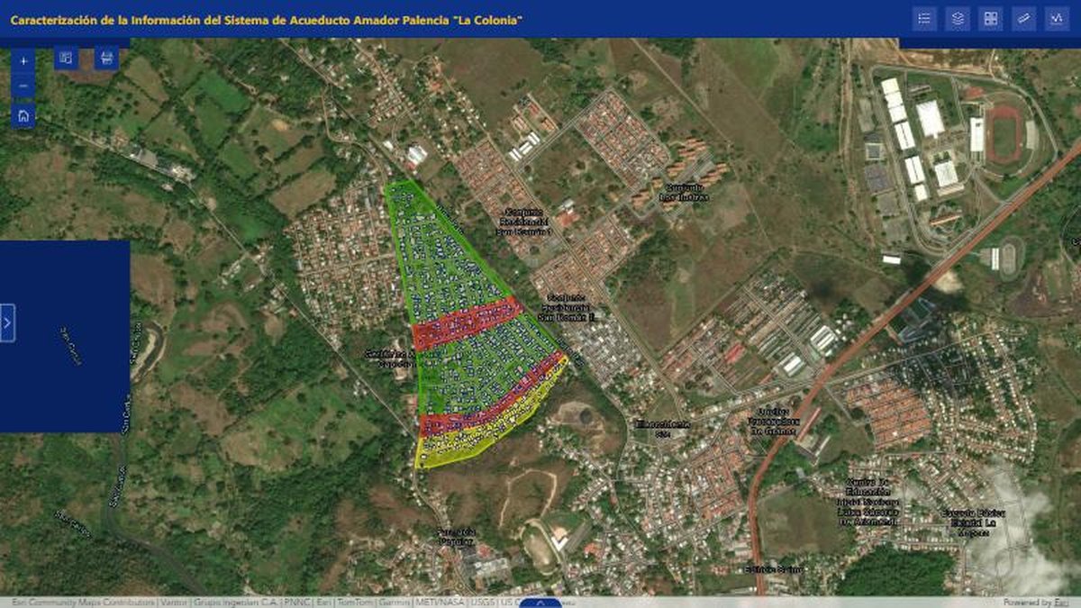
An interactive viewer that characterizes a water-supply system over aerial imagery so the utility team can inspect parcels and networks.
The challenge
Information about a water and sewer system lived in separate files. The utility team needed to see the network, the area it serves and its attributes together, without a desktop GIS.
The solution
I organised the system data into a web map and published it as an Experience Builder app with tools to explore the network on high-resolution imagery.
- Characterize: structure the system information by component and area served.
- Map: style networks and parcels so they stay readable over aerial imagery.
- Publish: an Experience Builder viewer with simple tools for non-GIS staff.
Results
- One browser-based view of the whole system for operations and planning
- No desktop GIS needed to consult the network
- A base that can grow with new layers and field updates
Deliverables
Web map · Experience Builder app
Gallery
Next step
Need something similar?
Tell me about your data and your goal. I will reply with a clear approach, timeline and quote.