Web GIS & ArcGIS Online
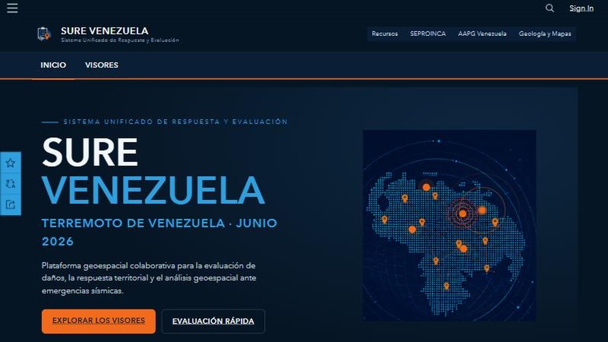
SURE Venezuela: a unified geospatial response platform for the June 2026 earthquakes
A public ArcGIS Hub site that brings damage reports, viewers and field forms together so responders and citizens work from one map.
The challenge
After the earthquakes of 24 June 2026, information about damage was scattered across messages, spreadsheets and social media. Responders, technical teams and the public needed one place to report, see and analyse what was happening, and it had to be live within days, not months.
The solution
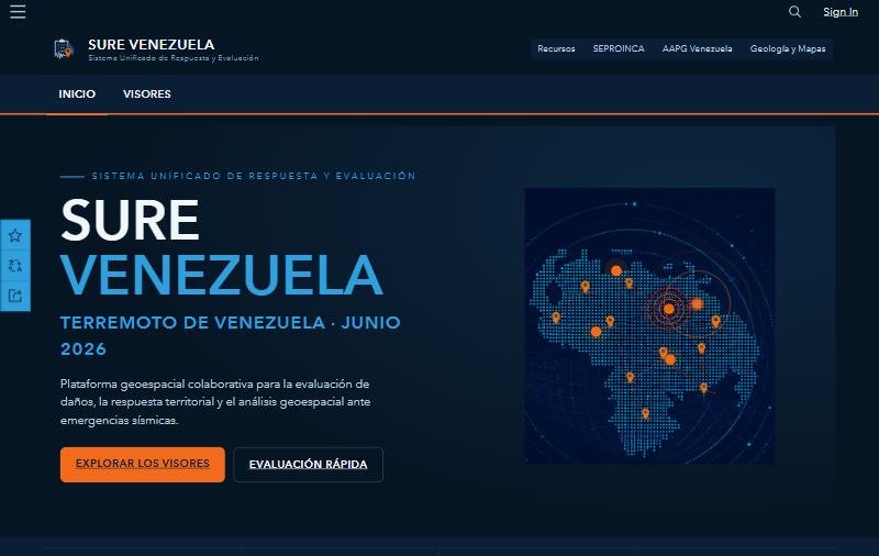
I built SURE Venezuela, a unified search-and-response system on ArcGIS Hub. The site is the front door: it links a rapid-assessment form, public viewers and analysis apps so each audience finds the right tool in a click.
- Collect: Survey123 for rapid damage assessment reports from the field.
- Organize: an ArcGIS Hub site with resources and links to every viewer and form.
- Visualize: Instant Apps and Experience Builder viewers for the public and for the technical team.
Results
- One public site gathering reporting, viewers and resources for the earthquake response
- Template that can be reused for the next emergency
Deliverables
ArcGIS Hub site · Survey123 form · Instant Apps · Experience Builder viewer · Custom domain
Gallery
Next step
Need something similar?
Tell me about your data and your goal. I will reply with a clear approach, timeline and quote.