Spatial Analysis
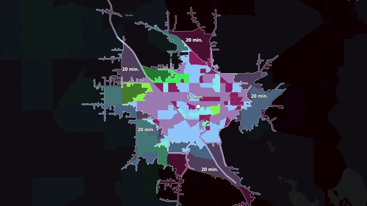
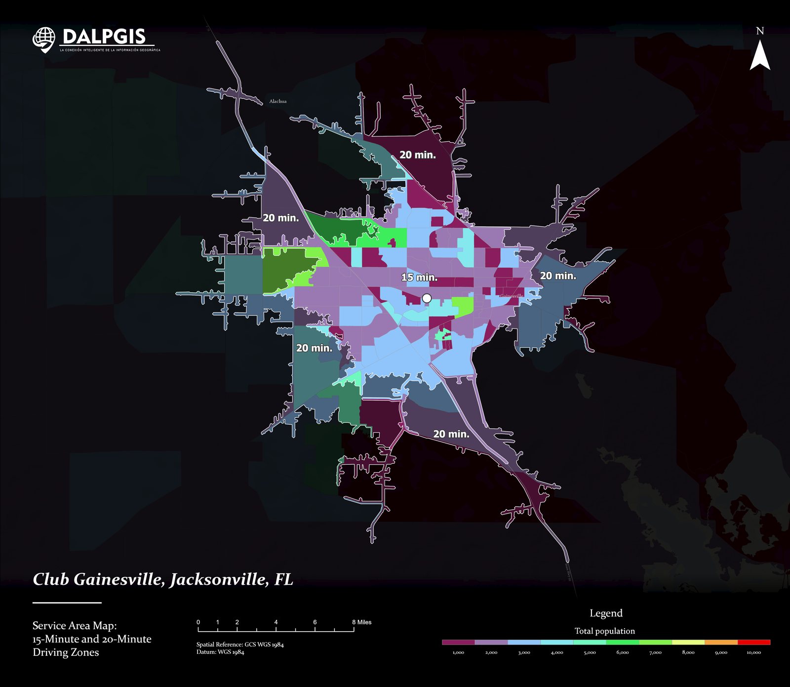
Drive-time service areas around a business location
A 5- to 30-minute service-area map that shows which neighbourhoods a site can reach and how much population lives inside each ring.
The challenge
Before choosing or judging a location, a business needs to know who can reach it and how fast, using real roads rather than a circle on a map.
The solution
I built service areas from the road network for several drive-time bands and cross-checked them against population to turn minutes into customers.
- Network: road network with travel-time impedance.
- Service areas: nested polygons for each time band.
- Demand: total population mapped by area, so the strongest zones stand out.
Results
- A clear, ranked view of reachable demand by drive time
- Easy to repeat for any number of candidate sites
- Map ready for a client presentation
Deliverables
Service-area layers · Print map · ArcGIS Pro project
Gallery
Next step
Need something similar?
Tell me about your data and your goal. I will reply with a clear approach, timeline and quote.